Professional Courses
Project Based Courses
GMES and Africa
SERVIR Eastern and Southern Africa
OFESA
AGRA
Disaster Risk Reduction
RCMRD.org
English (en)
Français (fr)
Português - Portugal (pt)
Log in
Skip to main content
RCMRD eLearning Platform
Home
Courses
Professional Courses
Course categories:
Project Based
Project Based / GMES and Africa
Project Based / CI GEF MRV Learning Platform
Project Based / OFESA
Project Based / AGRA
Project Based / Disaster Risk Reduction
Professional Courses
Professional Courses / International Computer Driving License(ICDL)
Professional Courses / International Computer Driving License(ICDL) / ICDL ADVANCED MODULES
Professional Courses / International Computer Driving License(ICDL) / ICDL BASIC MODULES
Professional Courses / Leica Courses
Technical Diploma Courses
Technical Diploma Courses / Diploma in Land Surveying
Technical Diploma Courses / Diploma in Land Surveying / Year I
Technical Diploma Courses / Diploma in Land Surveying / Year I / Stage 1: Term 1
Technical Diploma Courses / Diploma in Land Surveying / Year I / Stage 1: Term 2
Technical Diploma Courses / Diploma in Land Surveying / Year 2
Technical Diploma Courses / Diploma in Land Surveying / Year 2 / Stage 2: Term 1
Technical Diploma Courses / Diploma in Land Surveying / Year 2 / Stage 2: Term 2
Technical Diploma Courses / Diploma in Land Surveying / Year 2 / Stage2: Term 3
Technical Diploma Courses / Diploma in Land Surveying / Year 3
Technical Diploma Courses / Diploma in Land Surveying / Year 3 / Stage 3: Term 1
Technical Diploma Courses / Diploma in Land Surveying / Year 3 / Stage 3: Term 2
Technical Diploma Courses / Diploma in Land Surveying / Year 3 / Stage 3: Term 3
Technical Diploma Courses / Diploma in Land Surveying / DLS MAY 2018
Technical Diploma Courses / Diploma in Cartography and GIS
Technical Diploma Courses / Diploma in Cartography and GIS / Year 1
Technical Diploma Courses / Diploma in Cartography and GIS / Year 1 / Stage 1: Term 1
Technical Diploma Courses / Diploma in Cartography and GIS / Year 1 / Stage 1: Term 2
Technical Diploma Courses / Diploma in Cartography and GIS / Year 2
Technical Diploma Courses / Diploma in Cartography and GIS / Year 2 / Stage 2: Term 1
Technical Diploma Courses / Diploma in Cartography and GIS / Year 2 / Stage 2: Term 2
Technical Diploma Courses / Diploma in Cartography and GIS / Year 2 / Stage 2: Term 3
Technical Diploma Courses / Diploma in Cartography and GIS / Year 3
Technical Diploma Courses / Diploma in Cartography and GIS / Year 3 / Stage 3: Term 1
Technical Diploma Courses / Diploma in Cartography and GIS / Year 3 / Stage 3: Term 2
Technical Diploma Courses / Diploma in Cartography and GIS / Year 3 / Stage 3: Term 3
CI GEF MRV Learning Platform
Search courses:
Expand all
International Computer Driving License(ICDL)
Leica Courses
Online GIS Training for KMD County Directors
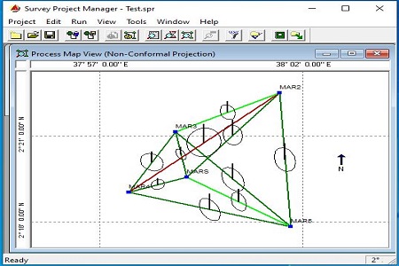
GNSS Data Processing Online Training
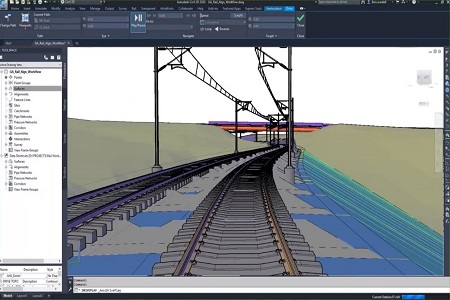
AutoCAD Civil 3D Land Development Training
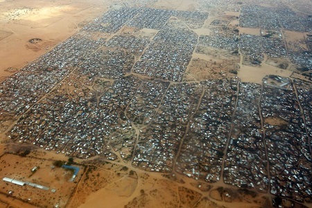
Earth Observation Data Processing for National Development
Digital Image Procesing
Course Demo
GIS for Professionals
Fundamentals of Geographic Information Systems (GIS) and RS
Introduction to Remote Sensing
Managing Data in Distributed Systems and Information Exchange in Mapping using ArcGIS Server
Relational Database Management Systems (Advanced Ms Access & Ms SQL Server)