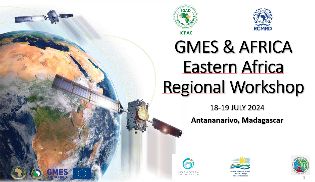
GMES Regional Workshop - Madagascar Training
The GMES and Africa Regional Workshop took place on 15 - 19 July 2024 at Antananarivo, Madagascar. During this workshop, technical trainings were prepared for the following topics:
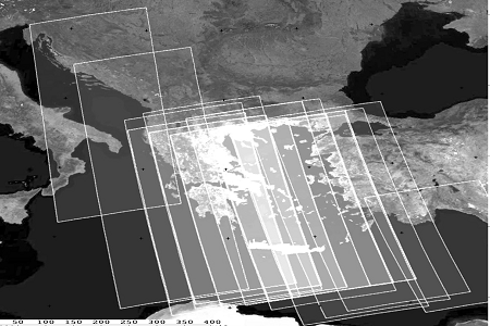
1. Achieving land degradation neutrality through EO based analysis of Land Use Land Cover change drivers
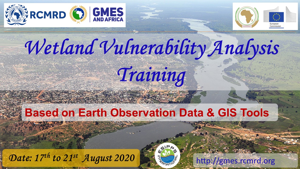
2. Towards development of a wetlands information service through the integrated wetlands assessment took kit
3. RCMRD Geoportals, data products and services
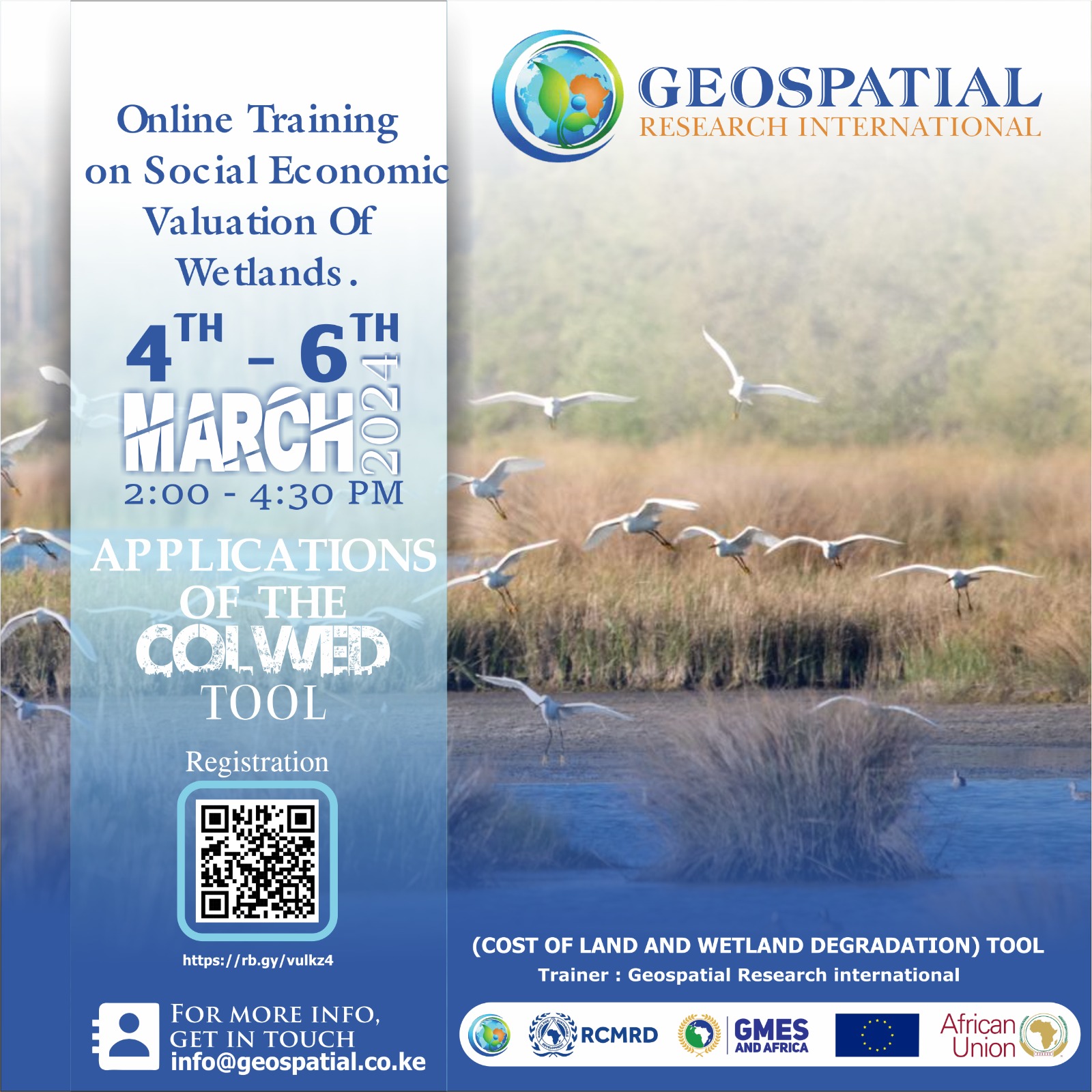
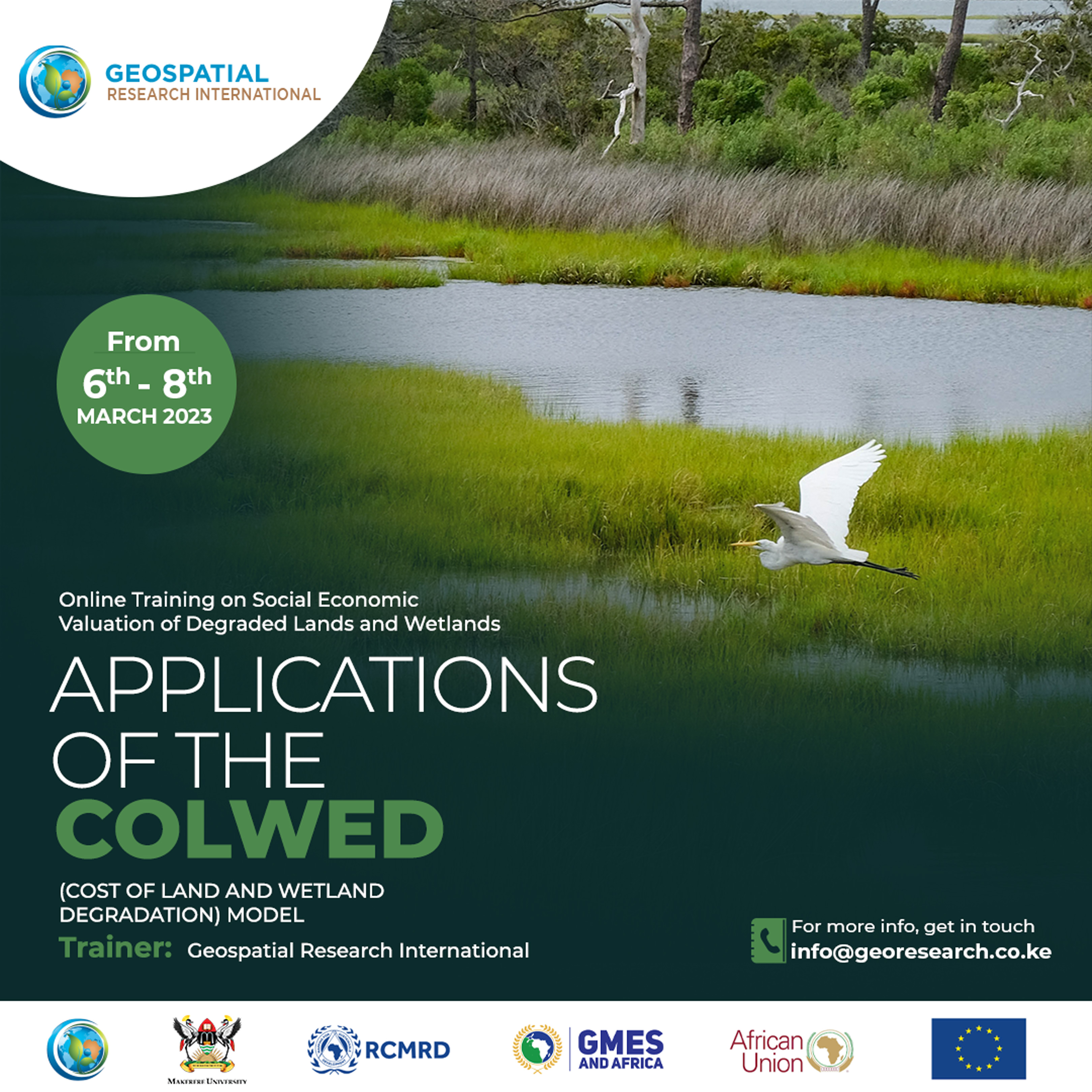
Socio-Economic Valuation of Wetlands Using Cost of Land and Wetland Degradation Tool (COLWED)
This training workshop has been organized to increase awareness and build the capacity of
stakeholders on the applications and use of the COLWED (Cost of Land and Wetland Degradation),
an earth observation-based tool, intended for sustainable socioeconomic valuation of natural
resources to support monitoring as well as restoration of degraded ecosystems by informing policy
intervention processes at regional and national levels.

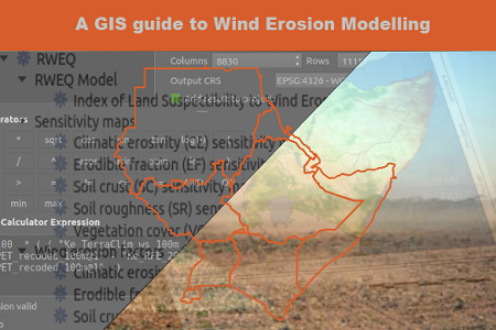
Land Degradation Training Course
The training aims to empower participants on how to use Earth Observation data and innovative techniques to monitor and assess land degradation. This training program introduces EO data requirements, tools, and innovative techniques to support resource management by informing policy intervention processes at regional and national levels towards land degradation monitoring and mitigation.